CityLayers: London
Walk London through its layers of time.
Point your iPhone at the street and the city of another age appears around you, standing where it stood.
Coming soon to the App Store iPhone · iOS 18

The film
Two layers of London in forty-eight seconds
Every shot recorded in the app. Score written in code.
How it works
The old city, lined up with the new one
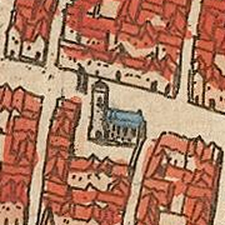
CityLayers rebuilds each layer of London, the city at one moment in its history, and sets it down where it stood, at true scale, so the street you are on becomes the street it was.
-
01 · Point
Point your phone at the street
Hold your iPhone up and look along the street. CityLayers matches what the camera sees against Apple's street imagery, then the city of AD 250 or 1500 appears where it stood, lined up with today's buildings. Until it lines up, the city stays hidden, so it never appears in the wrong place.
-
02 · Walk
Tap to walk, from anywhere
Tap the ground to walk through the old streets, and drag to look around. It works from anywhere, even at home on the sofa, so you can cross London Bridge or climb to the forum without leaving the room.
-
03 · Research
Built from the evidence
Each layer is rebuilt from old maps fitted to today's streets, excavation records and written sources such as Stow's Survey of London. In the app, How we made this shows the method, the measured errors and what is still an estimate.
-
04 · Map
Find every place on the full map
Open the map to see the whole layer laid over today's streets: churches, gates, markets and houses, each with what stood there, what stands there now, and where the evidence comes from.
Layers
Choose a layer of London
Each layer is London at one moment, built from published archaeology and period maps, with every place cited inside the app.
-

London · AD 250
LondiniumThe Roman town on the Thames: the forum, the amphitheatre, the bridge and the landward wall, with houses, bath-houses and fields beyond.
- Price
- Free with the app
- Look for
- The amphitheatre under Guildhall Yard, the forum at Leadenhall, the wall at Tower Hill.
-

London · c. 1500
The walled City and WestminsterA hundred parish churches, Old St Paul's, the bridge of houses and the palace at Westminster, out to Tyburn.
- Price
- £4.99 one-time in-app purchase
- Places
- 280+ researched places
- Landmarks
- Old St Paul's, London Bridge, St John's Gate, the Charterhouse and the Jewel Tower, each modelled in full.
Screenshots
What you see through the phone
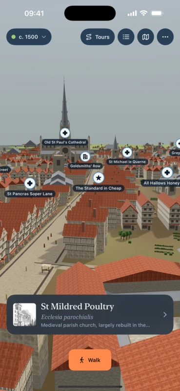
Walk London as it was in 1500Point your phone at the street. The old city appears where it stood. 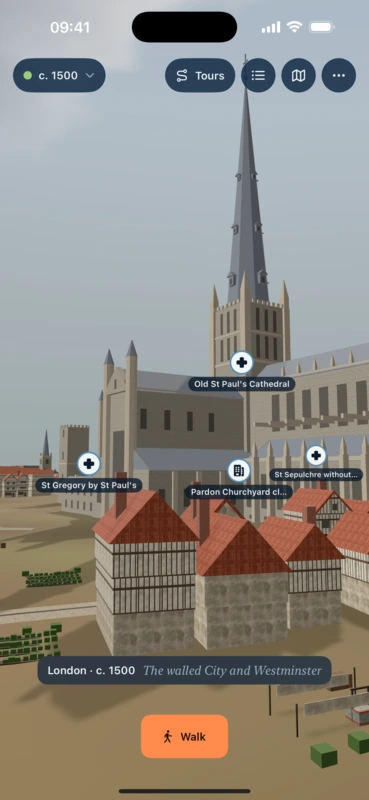
Old St Paul's, spire and allThe longest church in England, rebuilt as it stood in 1500. 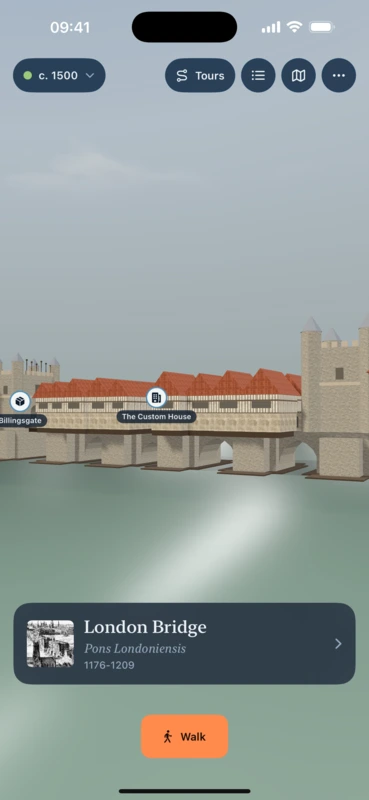
Cross the bridge of housesLondon Bridge with its shops, chapel and gate. 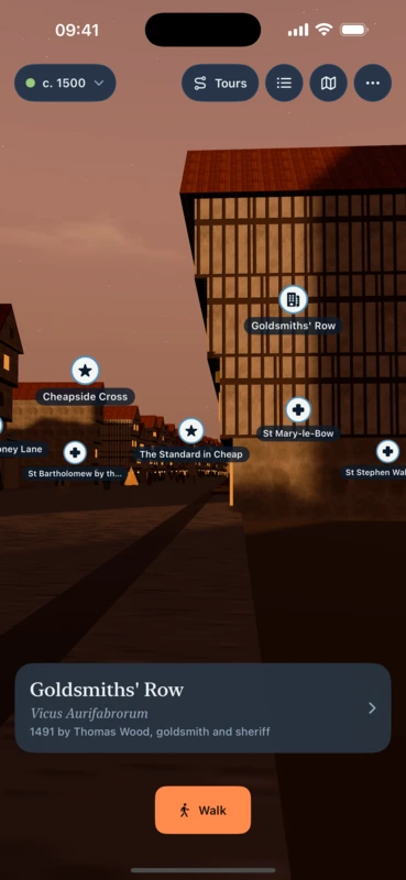
Stay out after duskLit windows, lamps and the evening sky. 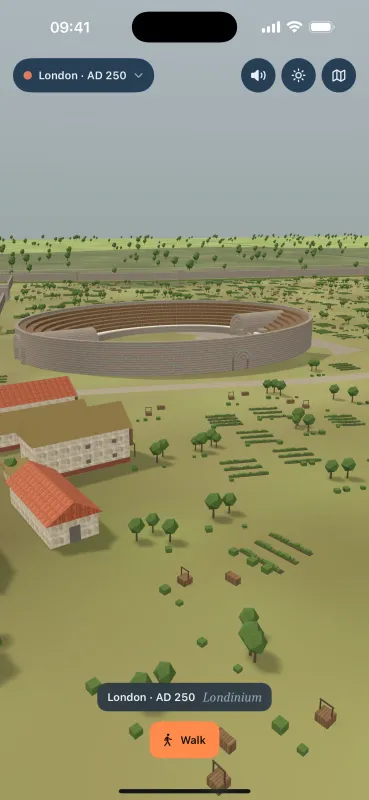
Londinium is freeThe Roman town of AD 250: forum, amphitheatre, the wall. 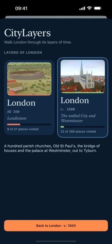
Choose a layer of LondonLondon in AD 250 and c. 1500, with more layers to come.
More cities to come
London is the first city. More layers of London will open in this app, each one researched place by place before it appears, and other cities will follow as CityLayers apps of their own.
The app stays the same from layer to layer. Only the year changes.
CityLayers: London is coming to iPhone
Free to download, with London · AD 250 included. London · c. 1500 is a one-time in-app purchase of £4.99.